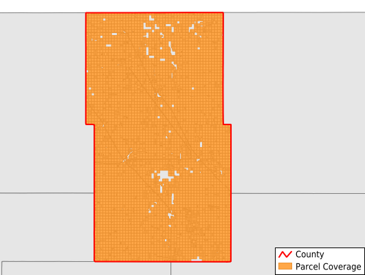
Towner County
Parcel Data
Price: $200.00
Last Updated:
2025-Q1
Parcels in County:
5,309
Parcel data available to download as a GDB, GeoPackage, Shapefile, Excel, CSV, or Google Earth KML file.
All purchased data comes with six months of access, including any updates, at no additional cost.
Key attribute coverage for Towner County
The percentage of Towner County parcels containing the following key attributes:
Owner: 99.9%
Parcel Number: 100%
Acreage (Calculated): 100%
Site Address: 11.4%
Mailing Address: 99.9%
All available attributes in Towner County
Parcel Number
Site Address
Owner
Acreage (deeded)
Acreage (calculated)
Perimeter
Municipality
School District
Zip Code
Census Block Group
Census Block
Total Market Value
Mail Address1
Mail Address3
Legal Desc1
Place Gnis Code
Land Cover
Elevation
Owner Occupied
Robust Id
Usps Residential
Alt Id 1
Plss Description
Plss Township
Plss Range
Plss Section
Crop Cover
Acreage Adjacent With Sameowner
Municipalities Respresented in Towner County
Bisbee City: 4
Cando City: 0
Egeland City: 2
Hansboro City: 11
Perth City: 2
Rocklake City: 2
Sarles City: 2
Armourdale Township: 219
Atkins Township: 165
Bethel Township: 171
Coolin Township: 188
Crocus Township: 234
Dash Township: 205
Gerrard Township: 201
Grainfield Township: 199
Howell Township: 186
Lansing Township: 155
Monroe Township: 187
Mount View Township: 159
New City Township: 176
Olson Township: 180
Paulson Township: 169
Picton Township: 190
Rock Lake Township: 166
Sidney Township: 219
Smith Township: 198
Sorenson Township: 176
Springfield Township: 174
Teddy Township: 166
Twin Hill Township: 170
Victor Township: 198
Virginia Township: 219
Zion Township: 165
Cando Township: 236
Maza Township: 215
Save money when you buy data in bulk
We offer discounted pricing on county and state downloads.